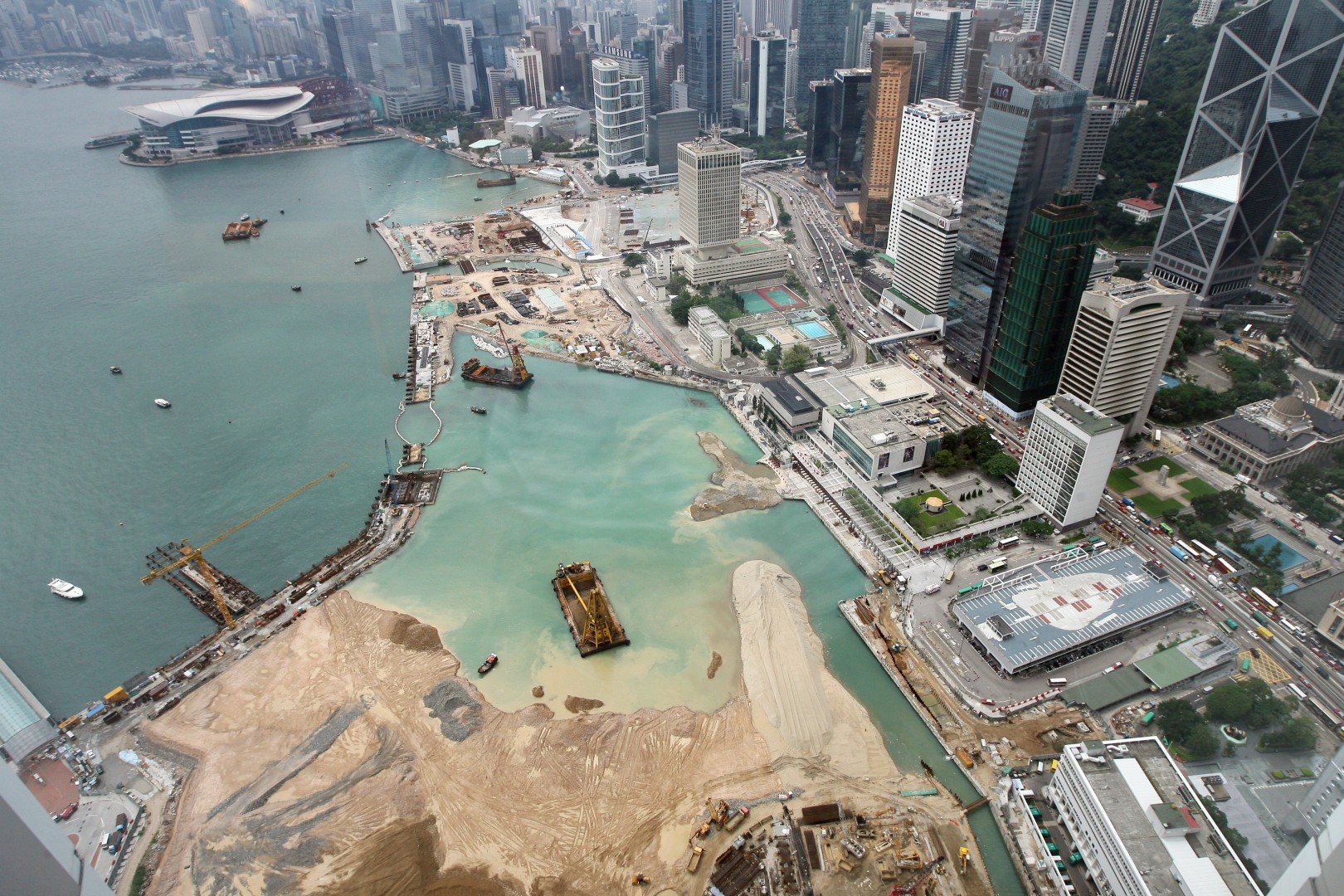
Dutch Reclamation Method
The Dutch/Netherlands/Holland are one and the same and here we are going to see the engineering technology they introduce to the world called Reclamation. From the year 1930 to 2000 you can see the land which is almost 18000 sq km. of which half is reclaimed.How did they achieve that?
In the year 1932, the Dutch build an embankment between Leeuwarden to Alkmaar which is also used as a highway connecting the two. This created a freshwater lake separating the salt sea. The work started in the year 1932 and the first reclamation completed in the year 1942 and then more land was reclaimed and thus increasing the size.The Battle between Dutch and Sea.The story behind this is actually the not from 1932 it is way back, almost 400-500 years old. The Dutch were really good in Hydrological Engineering. The country has a long coastline and is almost at the sea level or below the sea level and thus they have to maintain their land and this is were the knowledge and understanding of the power of water and the ocean came into the picture. They used steps to reclaim the land were:
1. Build an embankment border around which the place is to be reclaimed.
2. They build windmills that back in those days were used to pump out the water using a new mechanism.
3. Then dump soil mass and make it dry and then build a complete city.
In 1932 they built a giant wall which we talked about above and which stopped the water entering the creek and making it a lake. Then it was easy to work and they followed the steps and reclaimed small sections and increased the country area. you can see many coastlines with stone and basalt because it might just have been reclaimed unlike the sand beached.
One great example is Amsterdam which is a city and business hub which is built from the part of Amstel River and the city is not completely reclaimed but uses the water for the transportation purpose by the help of canals which connected each and every part with which you can see that how good they were in Water Management and Design Engineering. Many sluice gates and embankment dams were built to stop the erosion of the reclaimed city.
The world recognized this method of reclamation. The following cities adopted the Dutch Method:
- Pulau Tekong, Singapore:
The construction giant in Singapore has decided to use the Dutch method for reclamation work and which is much necessary because the workable land is so less that it is the only way to go for.
- 3 islands in the south of Lantau Island, Hong Kong:
The Island Country Hong Kong has the same problem as Singapore where land for further development is truly less and reclamation is the way to go for.
- Navi Mumbai, India:
The Navi Mumbai was built with the same technique as the Netherlands cities were the land was reclaimed by first building embankment and then pouring out the water of the reclaimed part and thus creating a totally new city about 25 to 40 km long along the coastline.
- Palm Island, Dubai:
Not completely but the palm islands in Dubai used the reclamation work of the Dutch were in the filler material was used to be put by the dredger which was brought from the Dutch.
Ill Effects:
Many places have seen the benefits of this process of reclamation but there are few cases where the embankment wall breaks through and floods out the region. It also changes the elevation, morphology, oceanography, and coral reefs of that region. Many regions get the filling material from the sea but some places such as Mumbai reclamation and other reclamation use the hills of the surrounding area to get filling material for the reclamation project.
Read about the reclamation of the Mumbai city and its effects: Mumbai: The History of Reclaimed City


ReplyDeleteشركة تسليك مجاري بالقطيف